

Rocky Trails Company Taylor Park, Colorado OHV Trail Map
Product details
| Management number | 237643483 | Release Date | 2026/07/10 | List Price | US$5.60 | Model Number | 237643483 | ||
|---|---|---|---|---|---|---|---|---|---|
| Category | |||||||||
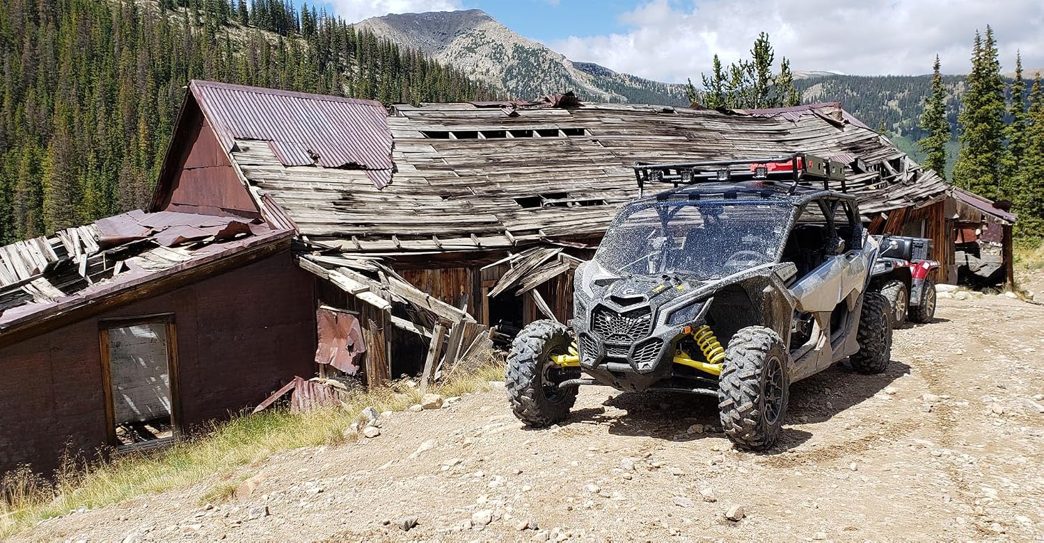
Some destinations are worth more than a single day. Taylor Park sits in the heart of the Colorado mountains with wide open camping areas big enough for an RV and trails radiating in every direction — no pavement required (unlicensed vehicle are welcomed). This map lays it all out so you can pick a spot, set up camp, and spend days exploring without ever wondering what’s around the next bend. Popular trails, scenic overlooks, and must-see points of interest are clearly marked so nothing gets missed. Tincup Pass, St. Elmo, Pitkin, Mirror Lake, Slaughterhouse Gulch, Taylor Pass, Flag Mountain, Napoleon Pass, Alpine Tunnel, Mt. Antero, Grizzly Lake, Iron Chest Mine plus more. Trails are rated Easy, Moderate, and Difficult with connecting routes shown between them — so you can plan a ride that matches your skill level and still see the best the area has to offer. Paved and dirt roads are also distinguished, so you always know what’s ahead. This isn’t a map of every dirt road in the forest. It’s a curated guide to the best trails and the routes that connect them — the ones worth your time. Also included is everything you need to know before you go: licensing requirements for street-legal and unlicensed vehicles, permit information, camping options, and trail etiquette so you can ride right and come prepared. Every Rocky Trails map starts with me behind the wheel. I drive every trail, collect every detail firsthand — no crowd-sourced reports, no GIS data. If it’s on the map, I’ve been there. Because when you’re out there, the map has to be right. Map scale = 1 inch =1.5 miles unfolded = 18”x20” folded = 4”x9” pocket size 4”x4.5” Read more



Bestseller ranking
Topographic Maps




Correction of product information
If you notice any omissions or errors in the product information on this page, please use the correction request form below.
Correction Request Form